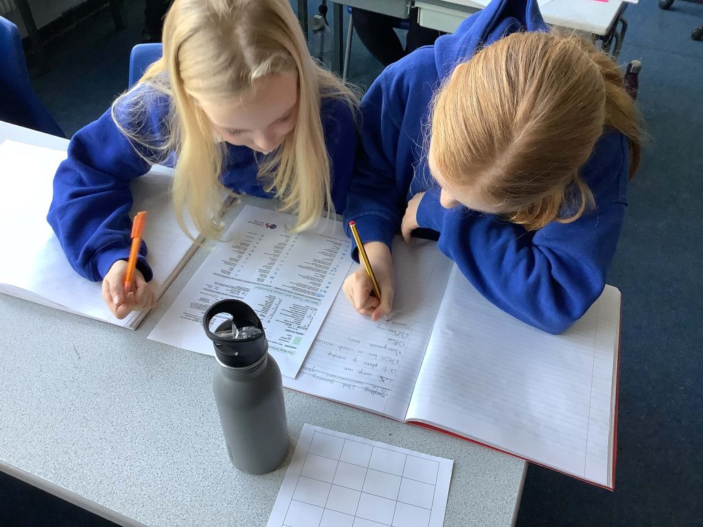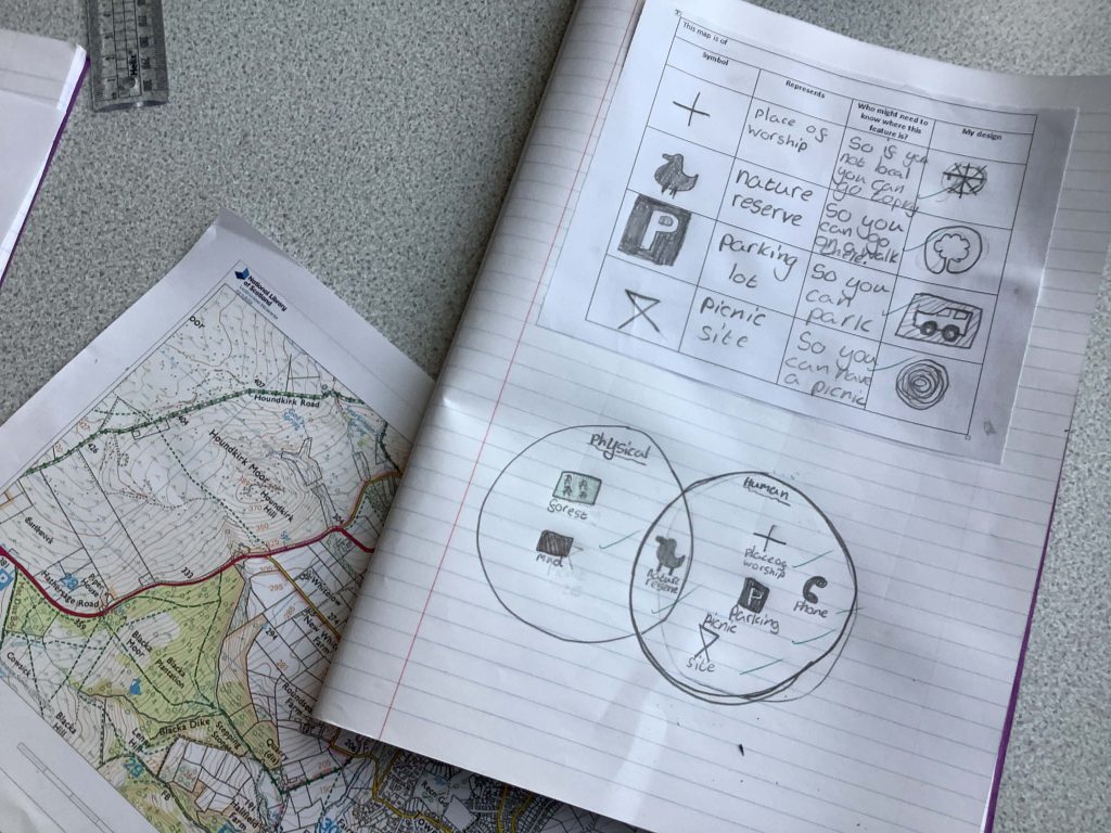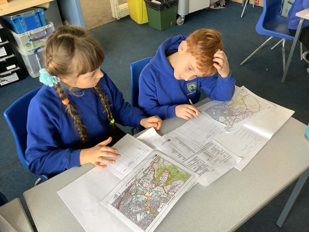
Y5 have continued their Out and About Learning Journey by learning about map symbols, how they are used to mark features on maps and how they can be useful for interpreting maps and for planning or following a route. The children began by looking at different maps and getting to grips with the Ordnance Survey Map Legend. They then identified a set of symbols and considered who would find the symbol useful. They sorted the symbols into those relating to physical features and human features and then finished off with an exciting game of “Map Symbol Bingo”!
In the next few weeks, the children will add to their map skills by looking at distance, gradient, elevation and interpreting maps to determine the land use.