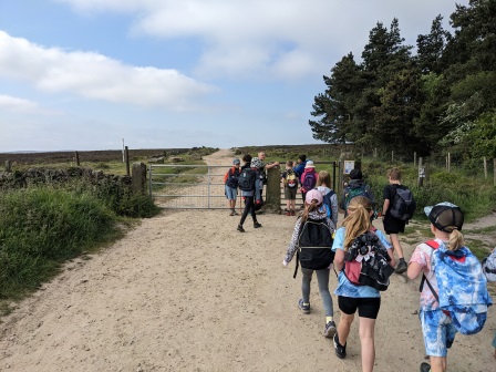
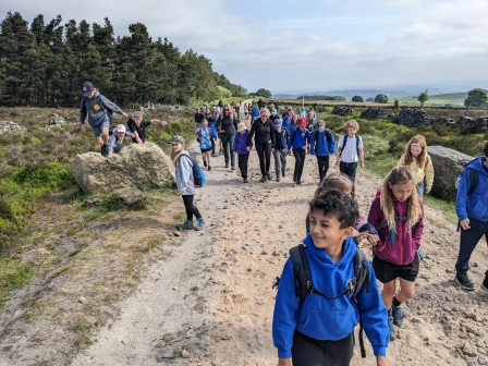
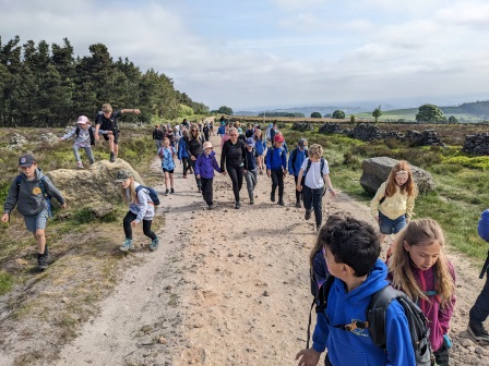
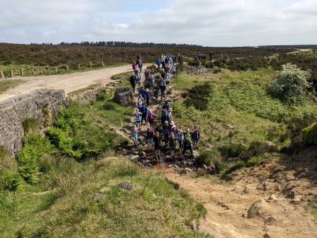
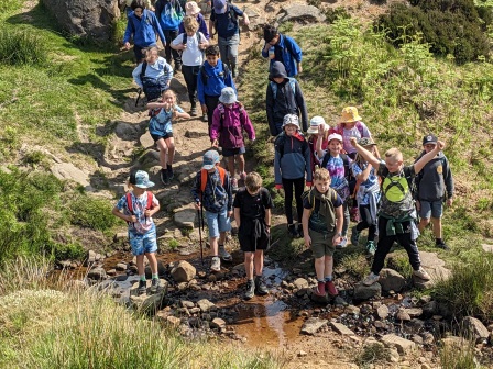
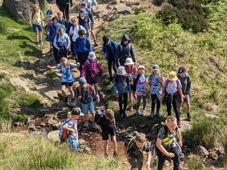
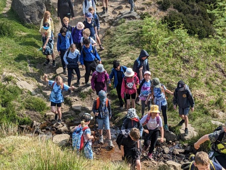
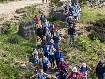
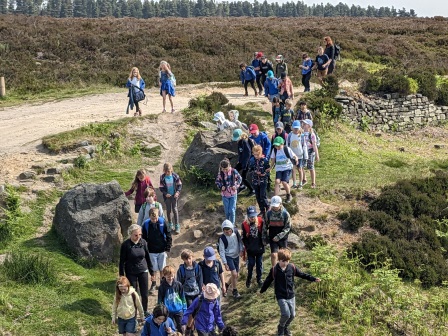
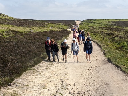
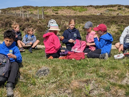
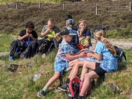
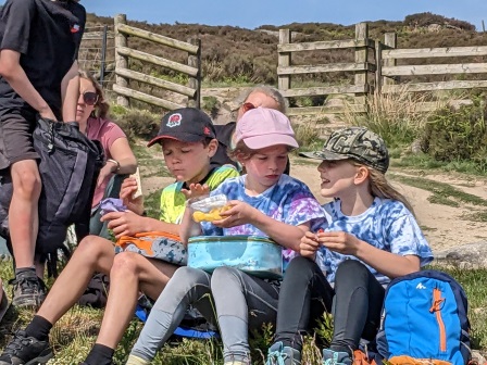
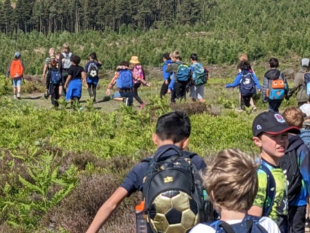
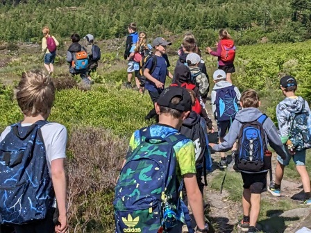
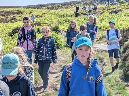
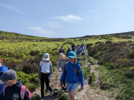
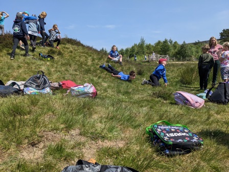
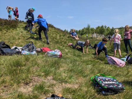
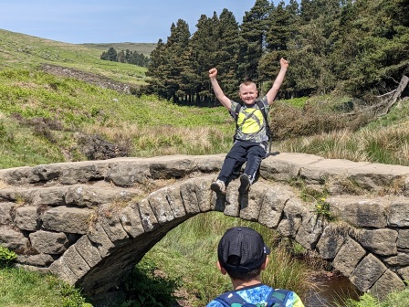
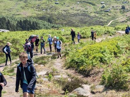
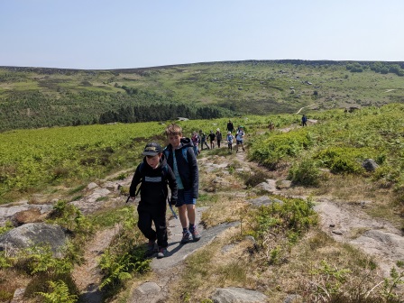
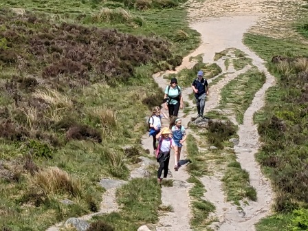
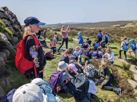
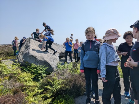
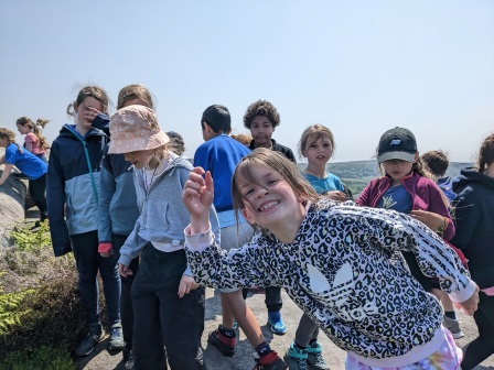
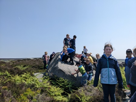
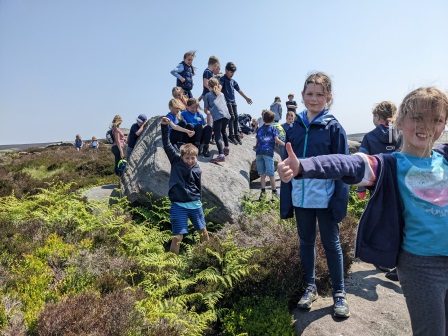
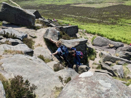
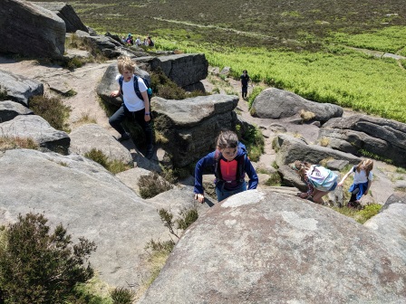
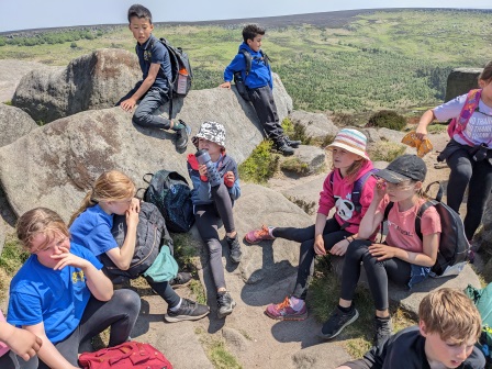
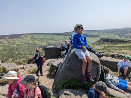
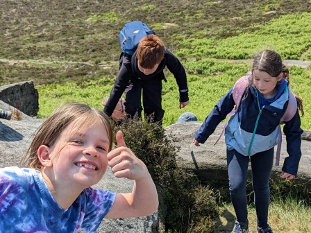
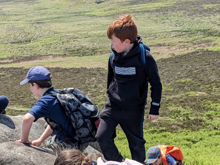
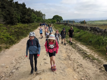
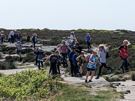
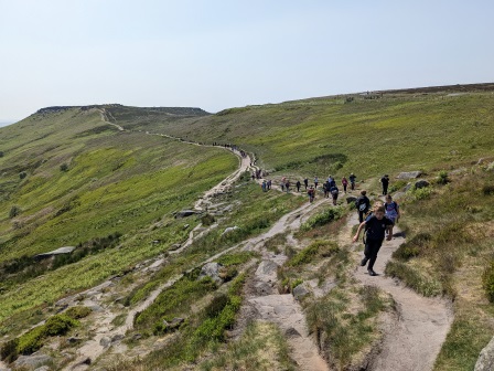
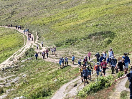
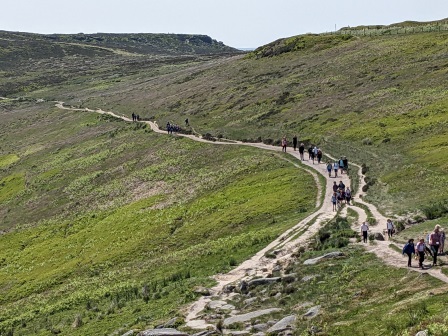
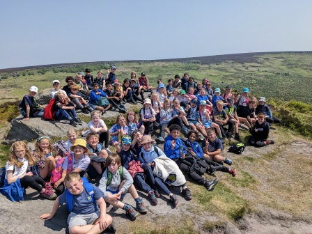
To support our learning in Geography of maps and settlements, and History about Roman roads and bridge-making, Y4 hiked from Ringinglow along the Houndkirk Road, then down through Burbage Valley across the packhorse bridge and up to Carl Wark and then Higger Tor.
Whilst walking, we investigated why some people think that the Houndkirk Road could be a Roman Road, and looked for clues of the various layers we knew the Romans used to build their road from our studies of primary sources in our history lessons. We also looked at how the packhorse bridge had been made using an arch and keystone, just as the Romans had, and compared this to a new bridge nearby that is crumbling after less than ten years after being built.
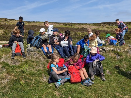
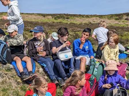
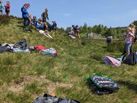
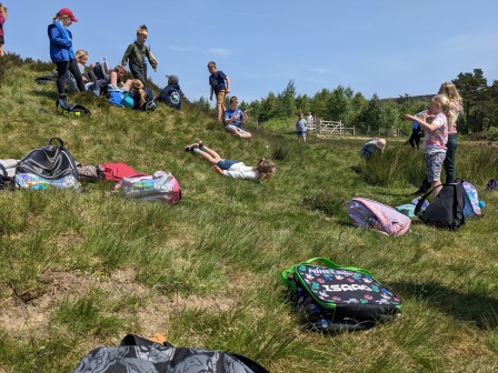
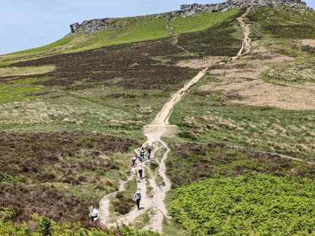
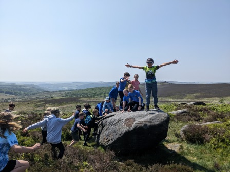
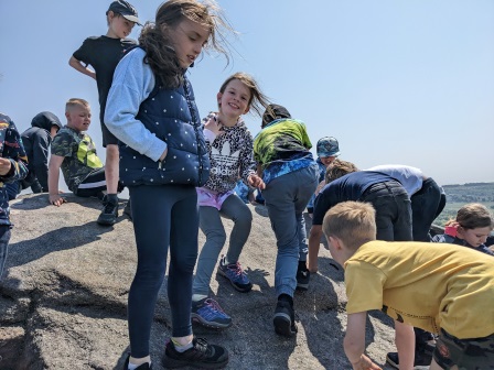
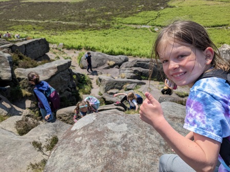
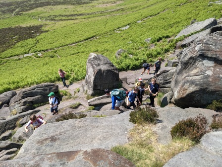
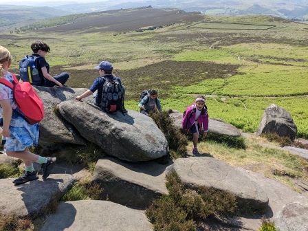
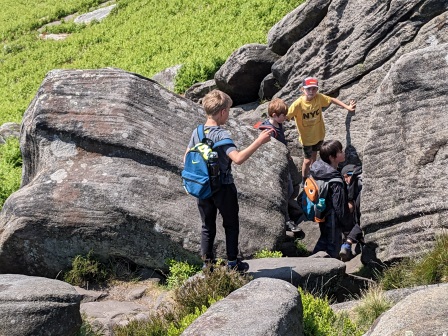
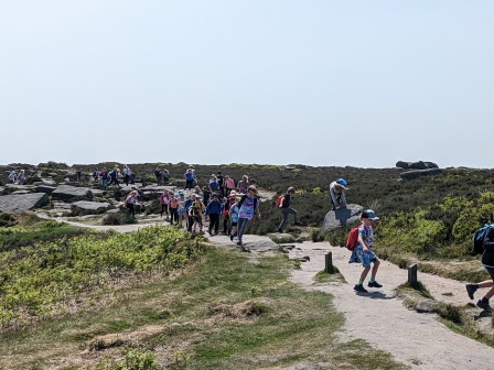
Then we explored Carl Wark, which some archaeologists believe to be an Iron Age hillfort. We decided that it would make a great place for a fort as it would be easy to defend, but wouldn’t have been a good place for Iron Age people to build a settlement as it is so exposed. This thinking also supported our learning about Iron Age people from Y3.